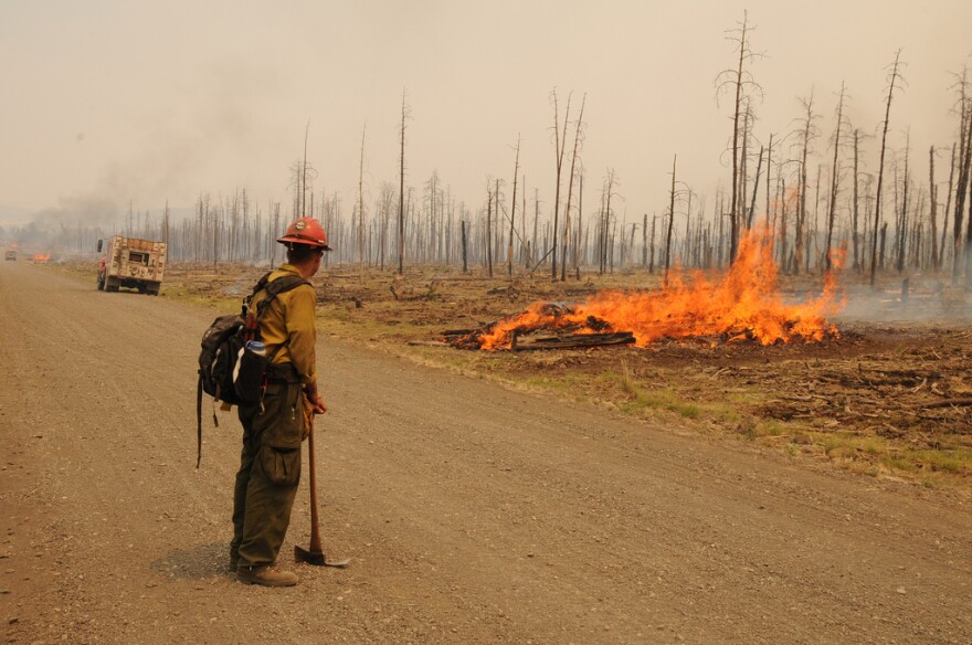
Crews continue to rehabilitate fire lines and roads along the northern fire boundary from Devil’s Park on Road 626 to the union of Indian Creek and the Middle Fork of the Gila River. Road damage that occurred from increased fire traffic on the road system is being rehabilitated as needed.
The increased visible fire activity occurred in pockets of unburned brush in Sycamore and Brush Canyons. Visible fire and smoke behavior was short-lived. Fire fighters and air support were standing by to keep the fire in containment lines. Crews and air resources are standing by in the southern boundary where fire activity has been present.
Increased fire traffic will continue in the southern fire perimeter. For your safety and safety of the fire crews please remember to avoid traveling on Sacaton Road and Moon Ranch Road.
The Southwest Type 1 Incident Command Team transfered command to a National Incident Management Organization (NIMO) Team yesterday at 6:00 PM. In addition to complex fire management, these teams have year-round "non-incident" duties in support of Fire and Aviation Management. For more information about NIMO teams go to www.nifc.gov/nimo
For additional information regarding the post fire-flood assessment go to the Whitewater-
Baldy Complex BAER page at http://www.inciweb.org/
Fire Facts:
Date Started: 05/16/2012 | Number of Personnel: 543 including |
Cause: Lightning | 2 hotshot crews, 4 hand crews |
Size: 278,708 acres (435 square miles) | Equipment: 17 engines, 19 Water Tenders, 3 Dozers |
Percent Contained: 37 | Aircraft: 4 Helicopters |


